
Established through South African legislation as a category B- municipality, Khâi-Ma (“Opstaan”) is responsible to render services to its citizens on a sustainable basis.
Municipal Structures Act, 1998, Act nr 117 of 1998 classified as a Category B municipality, and was proclaimed as a local municipality with a council combined with a ward participatory system. The Khâi-Ma Municipality is deemed to be a low capacity municipality and shares executive and legislative authority with the Namakwa District Municipality.

KhâI- Ma Municipality renders basic services to the inhabitants of Onseepkans, Blyvooruitsig, Pofadder, and Wittbank. Vedanta renders basic services to the inhabitants of Aggeneys, which proclaimed as a town. The inhabitants of Dwaggas Soutpans receive basic services from the employer, while some of the employees have a property in the Hantam Municipality.
| Wards | Communities | Total voters |
|---|---|---|
| Ward 1 | Onseepkans, Vrugbaar, Raap & Skraap | 1551 |
| Ward 2 | Blyvooruitsig | 1686 |
| Ward 3 | Pella and Klein Pella | 1871 |
| Ward 4 | Pofadder town area, Part of Blyvooruitsig, Aggeneys, Witbank and Dwaggasoutpan. | 1963 |
| Total | 7071 |
KhâI-Ma Local Municipality is situated between S29° 08’ 08, 7 and E19° 23’ 27, 1 and falls within the Namakwa District of the Northern Cape Province of the Republic of South Africa.
The Northern Cape is spatially the largest province in the country but also has the lowest population and some of the least developed areas in terms of its economic and social development. Khâi-Ma with Pofadder as the seat is situated, in the central north region of the Namakwa District, which is the furthest north in terms of the provincial boundaries. The Orange River which flows to the west coast is the northern border of the Municipality.

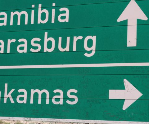
The municipality can be reached by a national route (N14), regional route (R358), Loop 10 from different ways and are also connected to Namibia through one of the roads (R358) and a gravel road from the turnoff to Pella to Witbank via Goodhouse and Steinkopf in the Nama Khoi Municipality.